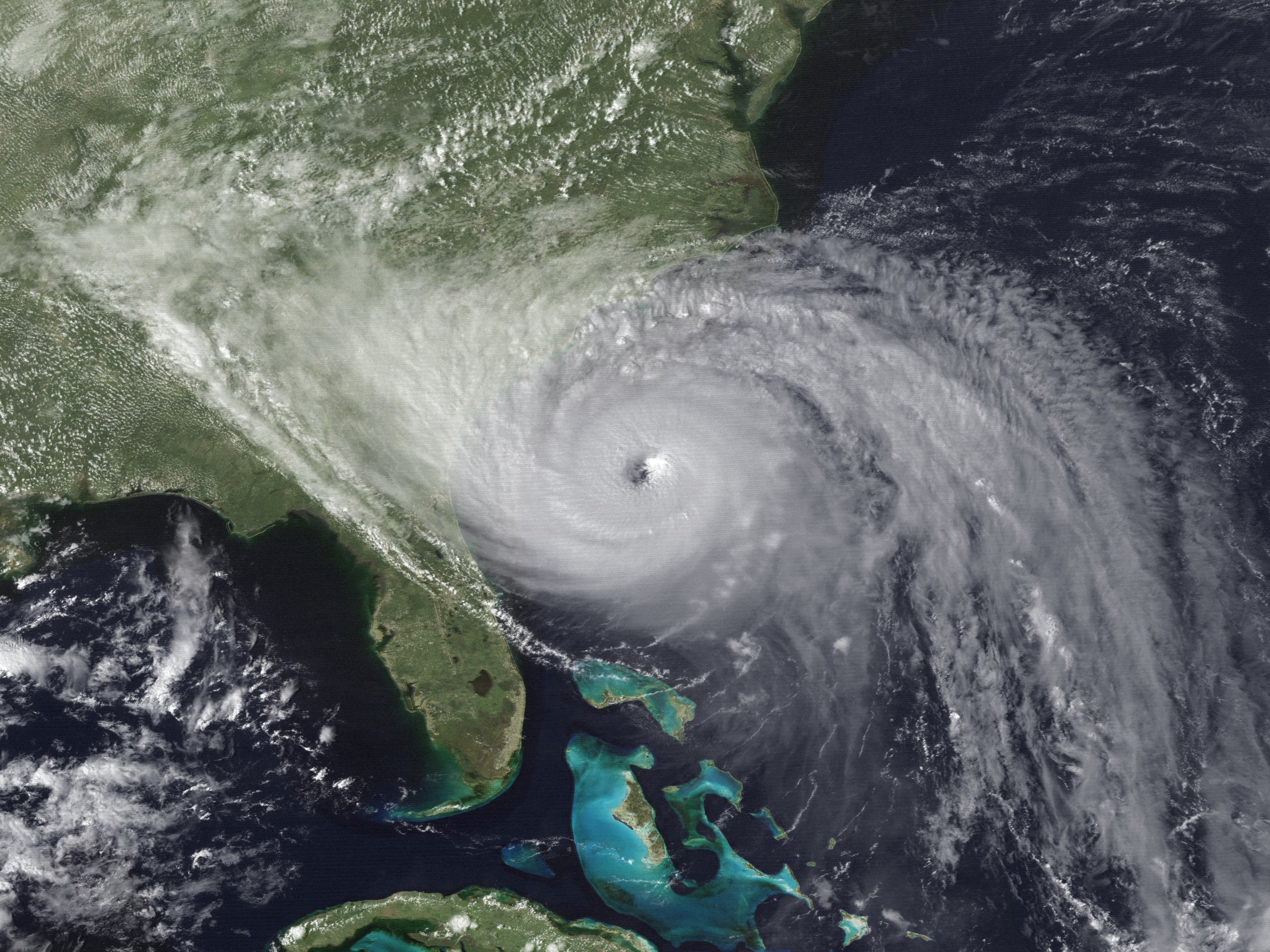
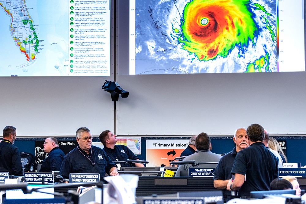
HURREVAC empowers America’s emergency managers to make informed decisions ahead of hurricanes. It's the only tool that combines the latest official forecasts from the National Hurricane Center with vital local inputs.
HURREVAC helps users:
- Track wind, storm surge, and inland flooding hazards for each storm
- Tailor reports and timelines to their area and operational needs
- Maintain awareness of emerging threats during hurricane season
- Plan throughout the year for worst-case scenarios
HURREVAC is the National Hurricane Program’s free decision support tool for government emergency managers.
The National Hurricane Program is a partnership between the U.S. Army Corps of Engineers, FEMA, and NOAA’s National Hurricane Center.
Sea Island Software is the contractor tasked with HURREVAC‘s development, operations, and maintenance.
This website provides program access, training resources, and support for eligible users.
Hurricane seasons of experience
Atlantic hurricanes tracked
Coastal municipalities supported with unique datasets
Users across the emergency management community
Ready to find out more about HURREVAC? First, check out our program overview. If you work in government emergency management and don’t yet have an account, please visit the registration page to apply for program access. Then, get to know HURREVAC at your own pace with our training guides and videos.
This is off canvas menu widget area. To enable it add some widgets into Appearance – Widgets – Menu Section, and go to Customizer – Main menu to set the icon position.
Official HURREVAC program support site maintained by Sea Island Software, Inc., with funding from FEMA, the U.S. Army Corps of Engineers, and NOAA